5 comment(s) posted
Add a comment
Print report


Comments (most recent towards the top):
2023-01-09 at 11:00 - comment by MaSid
The link to the on-line topo maps for the Kananaskis trail guides. The lines are summer hiking trails, not winter ski routes, but have all the basic topo info that one needs.
http://kananaskistrails.com/maps/
2023-01-07 at 18:23 - comment by MaSid
The tracks are in, visible and in good shape right now (although wind may fill some of them in, but should be still visible). Go and explore them now, have an adventure. If you find you don’t know where you are and might be lost, turn around and return the way you came. Prepare for your trip with a quality topographic map, compass and satellite imagery along with the cross country grooming map. East and west elk passes are clearly marked on topo maps, along with drainages and contour lines, roads, power lines, open/meadow areas, etc. Know how to read them. Satellite images also show the open meadow areas that provide easy travel. Study the maps and put it into practice by exploring the terrain. These are some of the skills and tools necessary for back country travel and all it’s attendant risks.
2023-01-07 at 17:44 - comment by C&WMacN
Would love to try some of this off trail stuff in PLPP with our LT gear. Can anyone post a map of how to access these meadows and travel from one to another or recommend a good source?
2023-01-06 at 21:52 - comment by MaSid
Super cool. Beauty pics. And thanks for keeping the track open.
2023-01-06 at 21:36 - comment by Arie
That was me skiing through west Elk Pass to the hydro line. The Elk Pass Cloud was thick and I didn't get any views.
But - I saw a fox. Along upper Fox Creek! I only managed a few distant shots. And then it was gone.

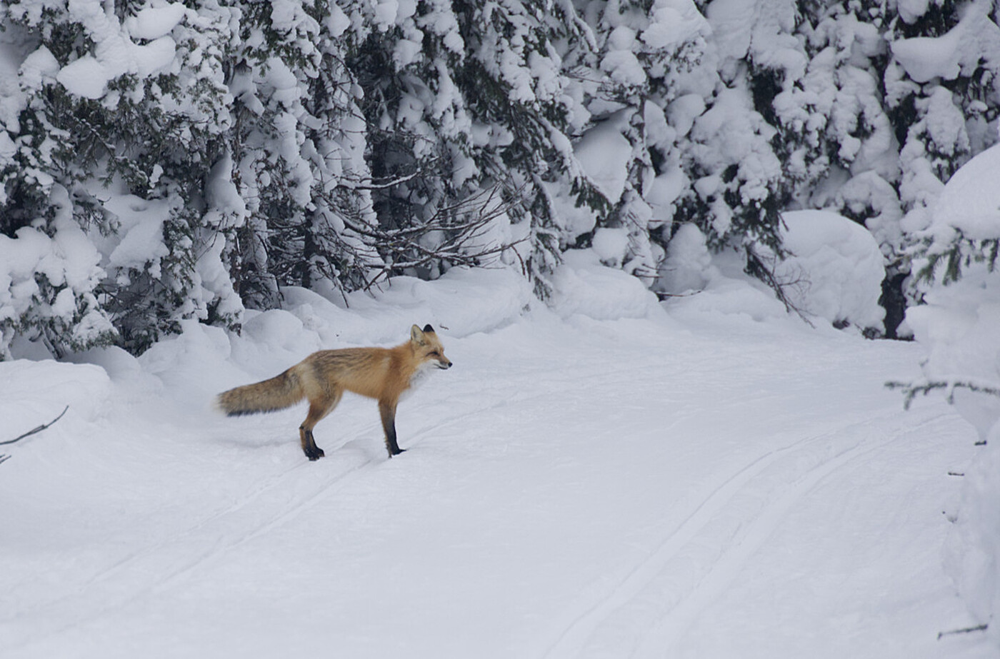
Searching for sunshine......
Report Submitted by MaSid
(trip) Date: Friday Jan 06, 2023
Submitted: Friday Jan 06, 2023 at 15:53
Discussion:
....on a misty meadow ski tour.
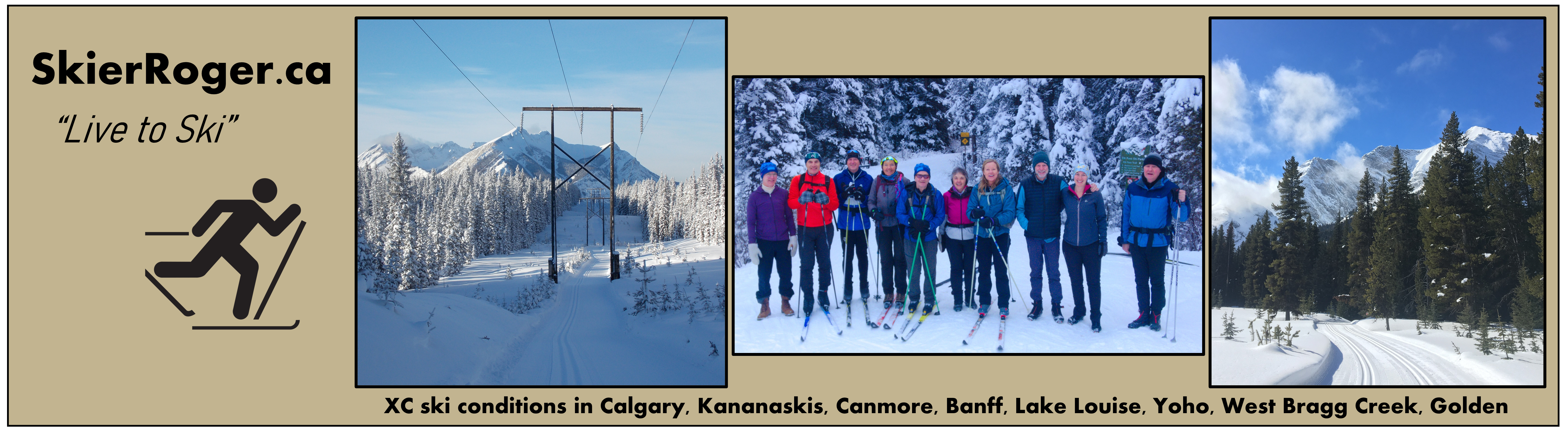
-6 in the parking lot on arrival at 9, -2 on return at 2, so no meltdown in south PLPP today, but warmer further north. The elk pass cloud was in place so headed up blueberry to start the day seeking some sun. Found it, but only briefly.
- Upper blueberry meadows: Put in a new track, easy trail breaking with ankle ski pens. It’s not an afternoon gig for sunlight given the proximity to the turret and mount fox. Meadows aren’t that open (slowly getting filled in with tree growth), but there are good views at the end where it widens out (LT gear recommended). The entrance is at the “easy” sign just below the final hill up to the summit (and it is indeed easy).
- Lower blueberry meadows: No new travel on the track from several days ago and was partially blown in. Ankle ski pens (LT gear recommended).
- West elk meadows: Another party had been through and looked like they had refreshed the track all the way to the hydroline? Which is great. All manner of skis work in the existing track, to and beyond couch HQ. Large pole baskets still come in handy.
- Patterson meadows: Boot top ski pens on the just visible old track.
Caution descending Patterson grooming. Removed a tree, but still some debri across the trail (a flatter portion of trail luckily).
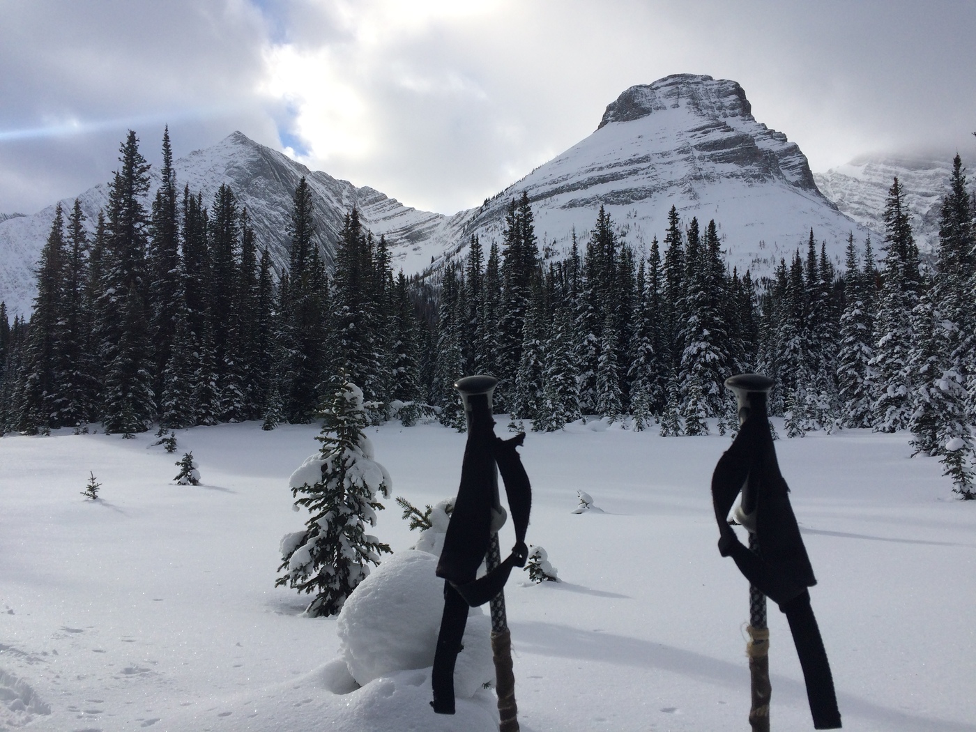 Upper blueberry meadows, with a good close up view of the turret and mount fox.
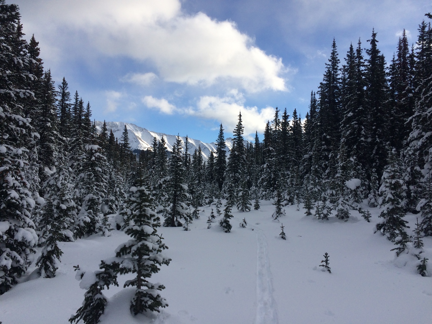 Upper blueberry meadows on return to the grooming with pocaterra and thyrwitt mountains in the distance.
|